Recent West Leb News:

An Opportunity to Redevelop West Lebanon Main Street


The Westboro Rail Yard is 17-acres, representing 40% of the West Lebanon Central Business District.
For over 30 years, the West Lebanon community has been advocating for the productive re-use of the former Westboro Rail Yard. The Rail Yard is central to downtown West Leb’s history and identity, but the majority of rail use ceased in the 1970s– except for a remnant spur-line which continues to serve a few local industries.
That rail use can continue, alongside more productive and community-oriented plans. Want to know how long this has been in motion? read the 2004 Westboro Railyard Report

Explore the ArcGIS story-map for an interactive look at potential re-uses of the Westboro Yard parcel.
For decades, efforts have been underway to create a waterfront park and trail network in West Lebanon. In 2021, those plans were revisited by the West Lebanon Revitalization Advisory Committee, which confirmed it to be a top priority for downtown revitalization in the 2021 Action Plan For West Leb.
This ArcGIS story-map contains some of the ideas for how the land could be repurposed for public use, connecting the community with its waterfront for the first time in over a century.
The Proposed Westboro Park & West Leb Greenway Lease Area.
The critical step for these plans to proceed is gaining control of the Westboro parcel from the State of New Hampshire, which took ownership when the Railroad Company left. Controlled by the Department of Transportation Rail Bureau, the rail yard has remained vacant, underutilized, and contaminated for decades.
Because of the groundwater contamination caused by previous industrial users, there is liability associated with this parcel. All plans call for surface recreation without disturbing the contaminated areas. The City of Lebanon does not want to take ownership of the property, which would transfer liability from the NHDOT to the City.
Instead, the City would lease the park area from the State, protecting them from liability while enabling the long-planned park to proceed.
The City and State have identified “surplus” areas of Westboro Yard that could be re-purposed for public use. They include the red areas outlined on this image, but exclude the teal area and the abutting Rhymes Propane facility, both of would remain under NHDOT control.
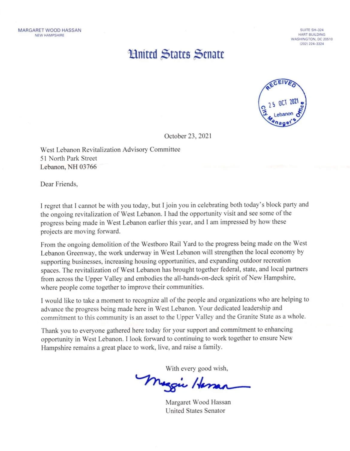
In October, 2021 the abandoned and dangerous rail yard buildings were finally demolished, a critical step forward that cleared the way for the Westboro Re-use Plan to proceed. This demolition effort was thanks to funding secured through Governor Chris Sununu’s office by the Lebanon Congressional delegation, the City of Lebanon, and Executive Councilor Joe Kenney. Despite COVID-related delays, the buildings were safely demolished (Gov. Sununu even operated the excavator!) and disposed of properly by the City of Lebanon. The demolition was necessary for the land-lease to proceed, and the park planning to commence.
“The revitalization of West Lebanon has brought together federal, state, and local partners from across the Upper Valley and embodies the all-hands-on-deck spirit of New Hampshire, where people come together to improve their communities. ”
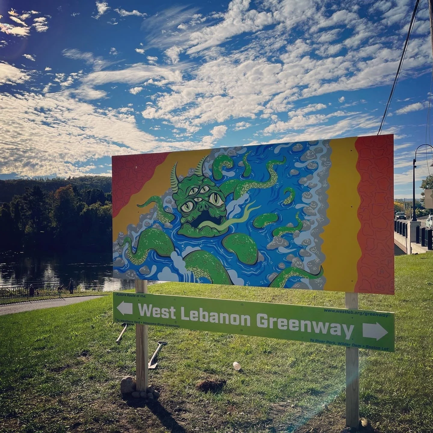
For over 20 years there has been talk in Lebanon of creating a waterfront trail alongside the Connecticut River, a “string of pearls” connecting the downtown to conservation and recreation areas. An opportunity exists to realize that goal by connecting existing trails and proposed trails, identifying the missing links, and making use of interim options while solving for the best long-term solutions. This will:
Connect the Mascoma River Greenway to Boston Lot Recreation Area via a trail that runs through downtown West Lebanon, River Park, and to the Wilder Dam.
Provide bike and pedestrian infrastructure running in parallel to Route 10, which is also part of the Connecticut River Scenic Byway.
Draw pedestrian activity into downtown West Lebanon along Main Street, which otherwise won’t meet Lebanon’s Complete Streets policy for bike/ped infrastructure.
A critical gap in the Rails-to-Trails Conservancy’s 1,100 mile Inter-state Trail Network
Connect existing and proposed trail networks, and work towards future linkages with White River Junction, Dartmouth-Hitchcock, and Hanover.


View 1-pager of West Lebanon Greenway route.
The Greenway builds upon the incredible past and ongoing work of Upper Valley organizations, municipal leaders, and businesses. Future efforts benefit from the collaborative approach of these stakeholders who are working together towards the shared-goal of regional recreational connectivity along the Connecticut River. We invite citizens, local businesses, and organizations to join the growing coalition: